Today I walked the last few remaining streets in Green Island which were a mixture of flat walking and some small hills. I walked 11 streets today.
962. Westland Street
963. Burgess Street
964. Jensen Street
965. Brooklyn Street
966. Trudi Place
967. Elwyn Crescent
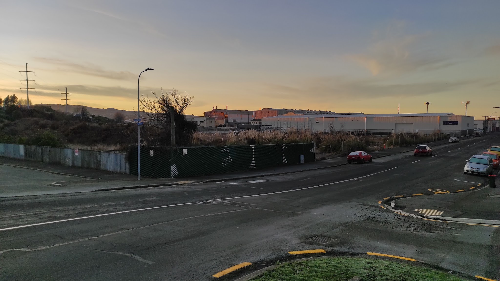
968. Weir Street
969. Allen Road
970. Allen Road South
971. Clariton Avenue
972. Taylor Street
963. Burgess Street
964. Jensen Street
965. Brooklyn Street
966. Trudi Place
967. Elwyn Crescent
968. Weir Street
969. Allen Road
970. Allen Road South
971. Clariton Avenue
972. Taylor Street
I started my walk today by walking alongside the busy off ramp of the Southern Motorway. Recently there have been three big roundabouts built to help traffic flow exiting and entering the motorway.


While most of my walking today was reasonably flat, there was a small hilly section that opened out onto a playground. This gave me the opportunity to see where I was headed in my walk and the streets that I would soon be walking on.


I continued walking in this area until I eventually came out
on the road behind the houses that bordered the farm land and I could look back to where I had been earlier.

As I continued on my walk, the road changed from tarseal to gravel with houses on one side and farmland on the other. I was also able to see Saddle Hill which continues to dominate the view looking South.

The gravel road eventually got me back to the tarseal and I finished my walk on the side of this road where I saw two different groups of Pukeko.


And lastly today, I walked past this wizard hat letter box . I wonder if the owner is a Harry Potter fan.

Distance walked: 7.8 km Walking time 1 hr 24 mins