It was a change of scenery for me today as I headed over the Northern Motorway to walk the streets of Waitati. I walked 18 streets today.
1145. Brown Street
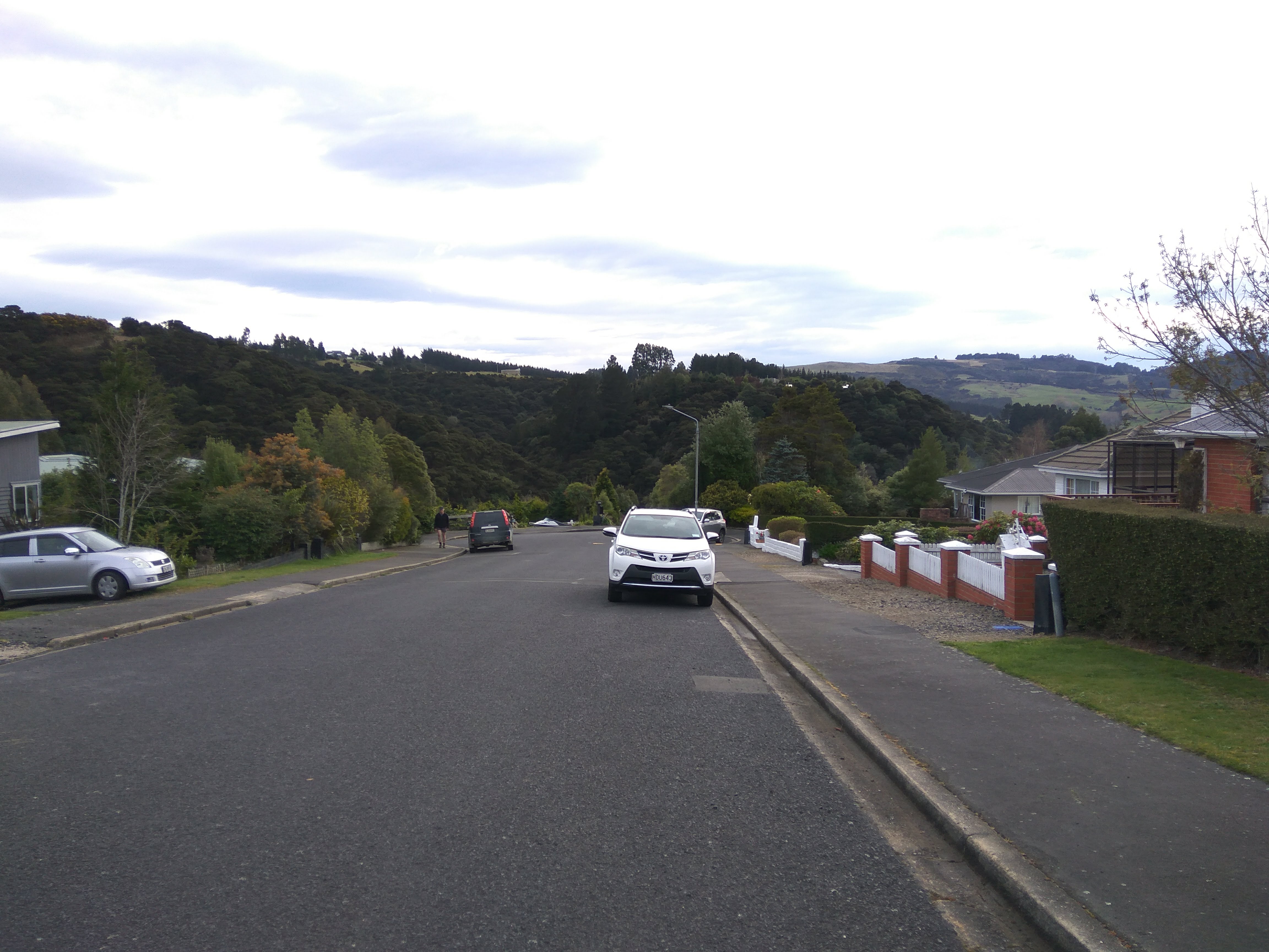
1146. Pitt Street
1147. McLachlan Street
1148. Harvey Street
1149. Orokonui Road
1150. View Street
1151. Ree Street
1152. Hill Street
1153. Chelivode Street
1154. Barton Street
1155. Short Street
1156. Thornicroft Road
1157. Doctors Point Road
1158. Foyle Street
1159. Killarney Street
1160. Erne Street
1161. Quayle Street
1162. Almond Street
I started my walk by following the Waitati River. The river runs along the side of Orokonui Road to the lagoon and is quite picturesque.
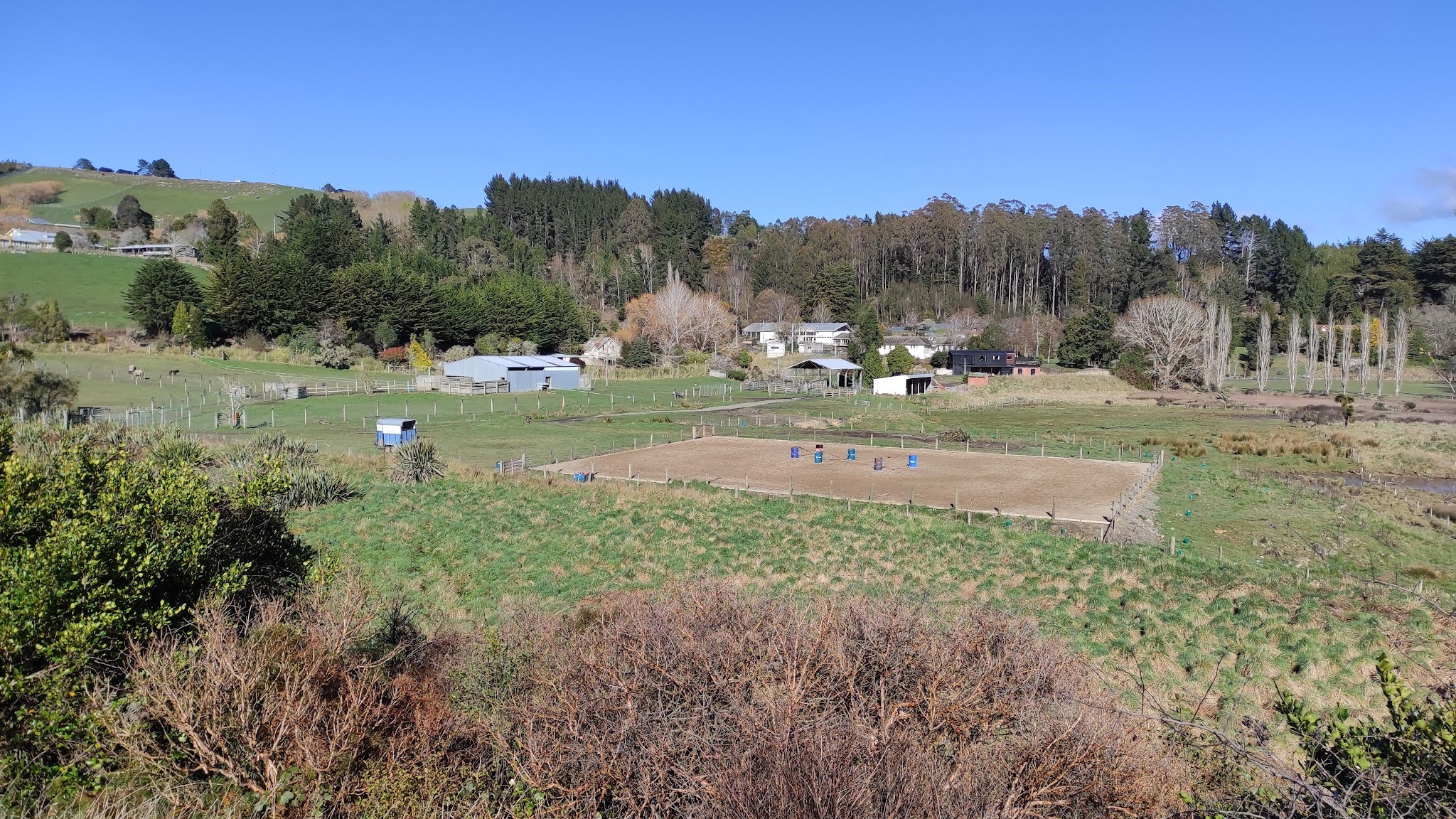
Before reaching the lagoon, I walked up View Street which is aptly named as the views looking toward Blueskin Bay from View Street are worth the uphill effort.
Once at the top of the hill I had great views looking inland towards the Silver Peaks. The weather is calm with no wind, making walking today very pleasant.
Once back down the hill I continued walking along the road as it followed the Waitati River which meandered through the trees towards the lagoon.
Once I reached the end of Orokonui Road, instead of going back along the road, I took a detour around the Orokanui Lagoon Walk to join up to Doctors Point Road. The lagoon walk is a pleasant and peaceful walk around the salt marsh lagoon.
From the lagoon walk I was able to look over to where the Orokonui Hospital was located. In 1901, the farm was purchased by Dr Truby King who established a psychiatric hospital here. The hospital treated patients, including having the patients working on the farm, up until 1984 when it closed.
As I walked around the lagoon walk, I was able to see more of the lagoon and look back towards where the hospital stood. I really enjoyed this part of my walk, particularly as it was not on a road.
The lagoon walk took me to a different part of Waitati and I was back to walking the streets. Now I was walking alongside the railway line.
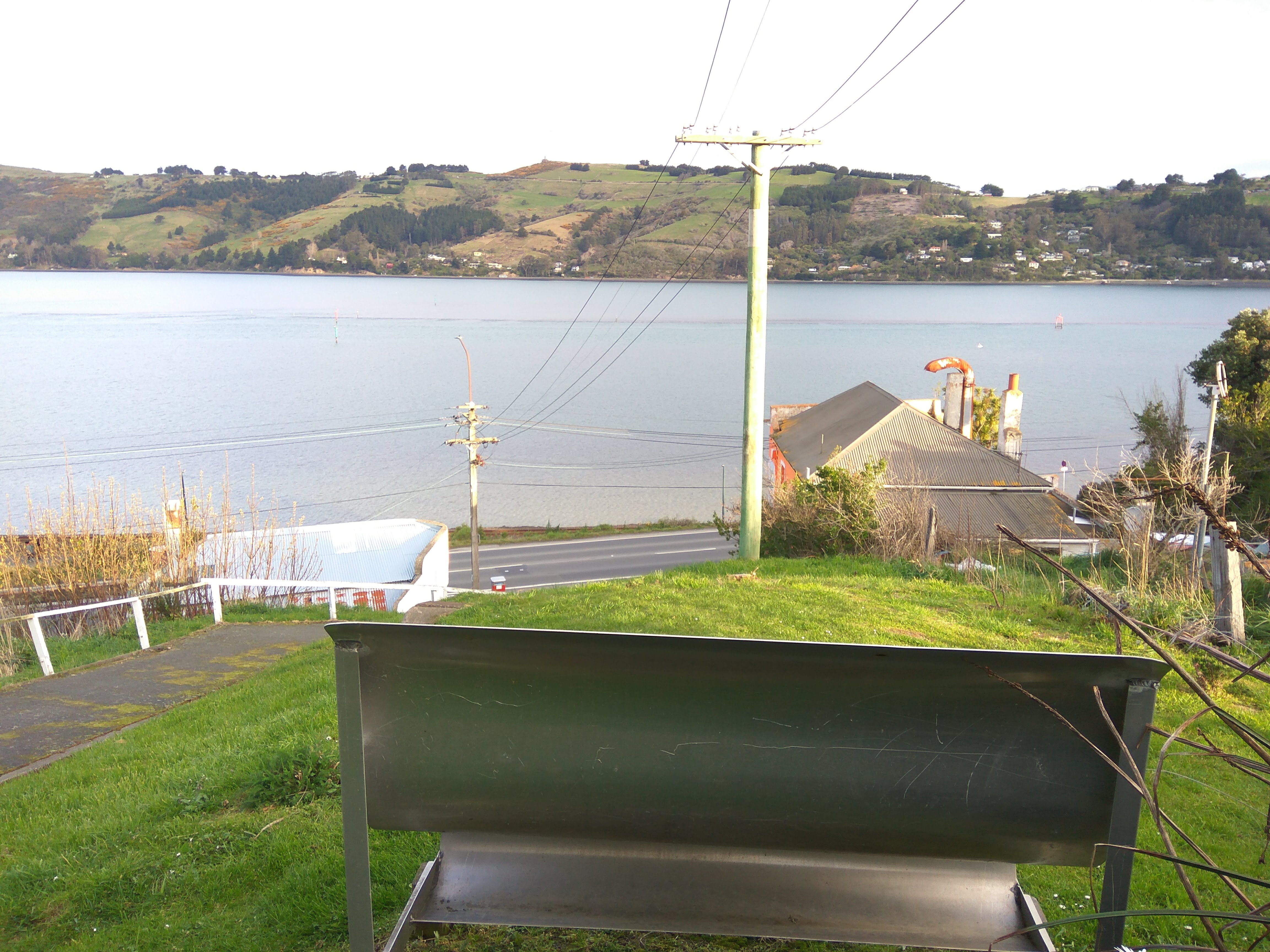
The railway line and road run alongside Blueskin Bay which is a tidal estuary . This is a popular place for people to gather cockles (clams) when the tide is low.
During my walk I crossed the railway line and came across this small wagon which has been left as a display beside the railway line.
Waitati is a small township with the Dunedin boundary. It is an idyllic place and being only 12 kilometres from Dunedin, it is an appealing place to live away from the busyness of the city.
During my walk, I saw this pou amongst some native plantings. A pou (or pouwhenua) is a carved wooden post used by Maori to mark a boundary or place of significance. A pou is similar to a totem pole in that the carvings tell a story linking the tàngata (people) and whenua (land).
My walk also took me past the Waitati war memorial which commemorates soldiers who did not come home from war. This war memorial is well looked after and sits beside the Waitati River.
One of the unusual things I saw on my walk in Waitati today was the front part of this old truck which is part of a garden ornament. It looks like it is half hidden amongst the trees.
I saw some street art on the side of buildings during my walk today. This one was on the side of the new library. I noticed teapots are part of this art and during my walk of the streets of Waitati, I saw lots of old teapots attached to letterboxes.
And this lovely piece of art that was on the side of a garage. I am enjoying find art like during my walks.
Today I walked past a number of interesting letterboxes. I had to look twice at this door as it is the letterbox .
And this is a selection of letterboxes that I walked past. A number of letterboxes in Waitati had old tea pots attached to them such as the old red post box letterbox.
This letterbox was huge. As you can see by the size of the tractor tires that it is sitting on, this letterbox looks like it is dog kennel size.
Distance walked: 12.1 km Walking time 2 hr 20 mins
Total distance: 723 km
Total walking 135 hr 34 mins