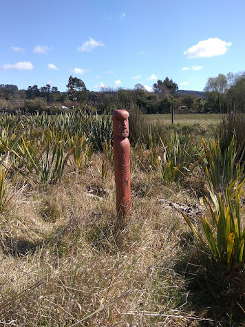
Continuing on from my blog yesterday, today's blog post is about the streets that I walked in Seacliff and Karitane which are small townships further along the coast. I walked the streets of these townships/suburbs as they are in the boundaries of Dunedin City. I walked 24 streets.
1182. Kilgour Street
1183. Palmer Street
1184. Barvas Street
1185. Halkirk Street
1186. Parata Avenue
1187. Rawhiti Street
1188. Kamura Street
1189. Seaforth Street
1190. Sulisker Street
1191. Roneval Street
1192. Harris Street
1193. Rona Street
1194. Karitane Reserve Road
1195. Scarp Street
1196. Grimness Street
1197. Stornoway Street
1198. Eris Street
1199. Kerr Street
1200. Barra Street
1201. Bernera Street
1202. Pentland Street
1203. Dunnet Street
1204. Coast Road
The second part of my walk today, saw me walking the three streets at Seacliff. In 1884, the Seacliff Lunatic Asylum was opened. At the time it was the largest building in New Zealand and housed 500 patients and 50 staff. In 1889 Truby King was appointed medical supervisor and 'prescribed' fresh air, exercise, good nutrition and productive work to the patients. By the 1940's the hospital became more like a prison where the treatment would be considered cruel today. The old hospital grounds are a reserve and thought to be haunted by patients who were locked in their rooms and died when a fire broke out at the hospital in 1942. The Seacliff Lunatic Asylum closed in 1971. Today the small settlement has a quiet and peaceful feel to it.
After leaving Seacliff, I drove to Karitane to continue walking the streets. Before reaching Karitane, I stopped at a lookout which gave me a good view of the township which is in the middle of this picture. The Huriawa Peninsula is to the left of the township and juts out into the sea. The peninsula was home to the Huriawa Pà which is a Maori fortified village.
Karitane is a small seaside settlement located near the mouth of the Waikouaiti River and is within the boundaries of Dunedin City. The river mouth is tidal and is a popular place for kayakers and boaties.
At the end of some of the streets in Karitane are walkways to the beach. This was useful to me as it meant I could walk along the beach to the next street, rather than rewalk some of the streets.Dunedin is lucky to a large number of readily accessible beaches and as a result, there are a lot of beaches for people to use. This often means that beaches are deserted and it is a pleasure to have a beach to yourself.
Some of the streets in Karitane are right on the beach. There are houses just across the road so the owners have the beach literally on their doorstep. I imagine it will be a magical place to have a home during the summer months.
In other parts of the town, the road runs beside the tidal Waikouaiti River. On a calm day, it is a very picturesque and peaceful place.
The views of the river mouth from this road was quite spectacular on such a calm day.
Not all the views were of the beach and river mouth. Parts of the township looked over farmland with Mt. Watkin in the distance.
Overall though, most of the houses in Karitane have views of the river mouth. The township is popular with day trippers from Dunedin City and it is easy to see why.
On my walk today, I walked past these gates at Seacliff reserve which are a war memorial to the fallen soldiers of the Seacliff area.
Later in my walk, I walked past these gates in Karitane which are a war memorial to the fallen soldiers of Karitane.
This boat looked like it wasn't going anywhere anytime soon. It was almost like it had just been parked on the side of the road and forgotten about by it's owners.
And I don't known when this car was last driven but it's certainly been here for a long time.
And lastly, I have included a map of Karitane with the streets that I have walked highlighted in red.
Distance walked: 11.9 km Walking time 2 hr 12 mins


